What damage has the severe weather caused in Evia?
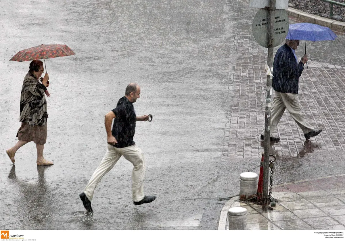
Flooding and landslides have paralyzed several areas in Evia, particularly within the Dirfys–Messapia Municipality. The deluge has impacted residential properties, local infrastructure, and the agricultural sector, creating a difficult situation for local authorities and residents alike. The scale of the impact suggests a sudden and overwhelming volume of water that local drainage systems could not manage.
In the entrance to Psachna, specifically on the North Evia side, several homes have been inundated by rising waters. Antonis Spyropoulos, the Mayor of Dirfys–Messapia, confirmed that the heavy rainfall has created serious complications for the community. To manage the crisis, local officials, including the Vice Regional Governor for Civil Protection, Mr. Pneumaiko, along with deputy mayors and special civil protection advisor Babis Tsokos, have been conducting patrols since the early morning hours to assess the damage and manage the emergency response.
The Triada area within the same municipality also experienced intense flooding. The massive volume of water caused significant issues on central roads, with water entering yards and several private residences. Beyond structural damage, the agricultural impact is notable; significant portions of lettuce crops have been submerged, leading to the destruction of local produce. This loss of crops represents a direct blow to the local agricultural economy in the region.
Infrastructure and transport disruptions in Evia
The road network connecting central and northern parts of the island has faced severe interruptions. According to Giorgos Kelaiditis, the Vice Regional Governor of Evia, the road leading to North Evia was closed in both directions following landslides at the Derveni location. This closure has isolated certain areas and complicated the movement of emergency services and residents. The landslide at Derveni occurred shortly after midnight, highlighting the nocturnal intensity of the weather event.
Drivers are advised to exercise extreme caution on remaining routes, as many are covered in mud, debris, and standing water, increasing the risk of accidents. The situation in several points remains difficult, necessitating heightened vigilance from both residents and commuters as they navigate the aftermath of the heavy rainfall and sediment accumulation.
How did the storm impact Skiathos?
Skiathos experienced extreme weather conditions described by local media as reminiscent of catastrophic historical storms, with some making comparisons to 'Daniel.' The island's coastal front was heavily impacted by a powerful storm that turned streets into fast-flowing rivers, causing significant disruption to local businesses and infrastructure.
From the afternoon of Saturday, the coastal front was submerged, and the force of the water was strong enough to wash away outdoor furniture and belongings from seaside establishments. The intensity of the rainfall was unprecedented. According to data from meteo.gr, rainfall rates peaked at over 130 mm in just one hour before 8:00 PM on Saturday. This sudden deluge caused the coastal areas to flood rapidly, transforming the local landscape into a series of torrents.
In addition to the physical destruction caused by the water, the storm also triggered widespread power outages across various parts of the island, leaving many residents without electricity during the peak of the event. The combination of flooding, wind, and loss of utility services created a highly challenging environment for the island's population.
What happened during the tornado in Parga?
A tornado struck several villages in the Fanari area of Parga, causing localized but intense destruction. The phenomenon primarily affected residential structures, particularly in the Mesopotamos area, where the wind force was strong enough to cause significant structural damage.
Residents in Mesopotamos reported that tiles were stripped from their houses by the high winds. The intensity of the phenomenon was such that many inhabitants had to attempt emergency repairs even as the rainfall continued, making the recovery process difficult and dangerous. The tornado's impact on the roofs of homes highlights the localized power of the wind during this weather event.
In response to the situation in Epirus, Civil Protection authorities have remained on high alert to manage the aftermath of the tornado and provide support to the affected communities. The focus remains on monitoring the situation as the weather continues to affect the region.
When is the weather expected to improve in Greece?
Meteorological forecasts indicate that the extreme weather phenomena will begin to subside starting Sunday afternoon. While the most violent storms have passed, the transition to more stable conditions will take several days to fully realize.
Conditions are expected to improve significantly on Monday and Tuesday. Forecasters predict a noticeable improvement in weather across most of the country, although some light, localized rainfall may still occur in Crete and eastern mainland areas. In the Aegean Sea, winds may remain strong, reaching 6 to 7 on the Beaufort scale. This suggests that while the heavy rain may subside, maritime conditions will remain somewhat turbulent.
Temperature-wise, the country is entering a more autumnal phase. Forecasters note that daytime highs are unlikely to reach 30°C in the near future, as temperatures remain at autumnal levels. The era of 30-degree days appears to have passed for the immediate period.
Frequently asked questions
Which areas in Greece were most affected by the storm?
The most severe damage occurred in Evia, particularly in the Dirfys–Messapia Municipality, and on the island of Skiathos. Additionally, the Parga region in Epirus was hit by a tornado, and parts of Thessaly and the Peloponnese also experienced heavy rainfall and storms.
How much rain fell during the peak of the storm?
According to meteo.gr, the rainfall intensity was extremely high, with measurements showing that over 130 mm of rain fell in a single hour on Saturday evening in certain locations, contributing to the flash flooding seen across the islands and mainland.
What was the impact on the transport network?
Major road disruptions were reported, including the total closure of the road to North Evia in both directions due to landslides at Derveni. In Skiathos, coastal roads were transformed into rivers, making them impassable and dangerous for motorists.
Will the weather remain bad throughout the week?
No, the weather is expected to improve. The intense phenomena should weaken starting Sunday afternoon, with Monday and Tuesday expected to bring much better conditions, although some localized rain in Crete and strong winds in the Aegean are possible.
Did the storm cause agricultural damage?
Yes, the flooding has caused significant damage to crops in Evia. Specifically, large areas of lettuce plantations were submerged under water, resulting in the destruction of a significant portion of the local production.
Key takeaways
- Extreme rainfall exceeding 130 mm per hour caused severe flooding in parts of Greece.
- Evia faced major landslides, closing vital roads to the northern part of the island.
- Skiathos experienced heavy coastal flooding and widespread electricity outages.
- A tornado in the Parga region caused structural damage to house roofs.
- Weather conditions are forecasted to improve significantly by Monday and Tuesday.
Conclusion
The recent extreme weather event has left a trail of destruction across Greece, highlighting the vulnerability of coastal and mountainous regions to intense meteorological phenomena. From the flooded fields of Evia to the storm-battered streets of Skiathos and the tornado-hit villages of Parga, the impact on both infrastructure and local livelihoods has been profound. As authorities work to clear roads and restore services, the focus shifts to recovery. With weather patterns expected to stabilize in the coming days, the immediate priority remains the assessment of long-term damage and the support of affected communities during this transition into the autumn season.