What are the primary weather warnings for Greece today?
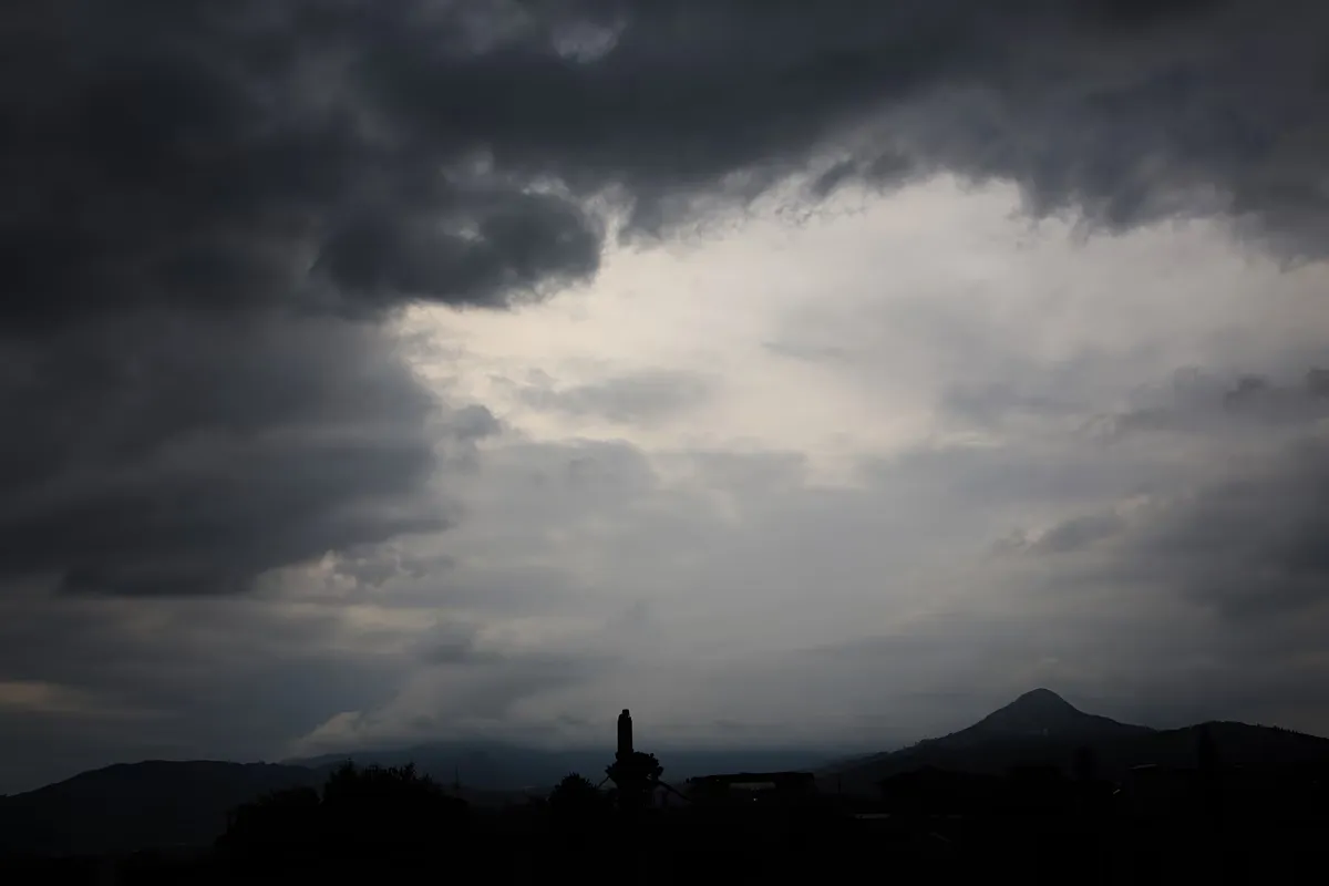
The Hellenic National Meteorological Service (EMY) has issued an emergency bulletin warning of intense weather phenomena affecting the southern Aegean regions. Specifically, Crete and the Dodecanese islands are under alert for heavy rain and thunderstorms. While Crete may experience intense rainfall in its northern, mountainous, and semi-mountainous areas through the evening, the Dodecanese—including Rhodes—is expected to see similar intense conditions starting from the afternoon.
In addition to the precipitation, the Aegean Sea will experience significant wind activity. Northeasterly winds are forecasted to reach intensities of 8 to 9 Beaufort. These winds are characterized as nearly gale-force, with gusts potentially reaching speeds of 90 km/h in the Central and Southern Aegean. This combination of heavy rain and high winds necessitates caution for maritime activities and coastal residents.
How will the weather impact different regions of Greece?
The weather patterns for Saturday, October 3, 2026, vary significantly across the Greek territory, ranging from stormy southern islands to clearer conditions in the north. The impact can be categorized by regional zones:
- Crete and Dodecanese: Expect heavy rain and thunderstorms. In Crete, the intensity will be highest in the northern and mountainous sectors until late evening. In the Dodecanese, the onset of intense weather is expected from the afternoon.
- Eastern Mainland, Euboea, and Cyclades: These areas will experience increased cloud cover with localized rain and potential isolated thunderstorms, particularly in maritime and coastal zones.
- Attica: The region will see temporary increases in cloudiness with a possibility of local rain during the morning hours.
- Northern and Central Greece: Generally, the weather will remain clear with few clouds, though some cloudiness may increase in the afternoon in the northeastern parts of the country.
- Thessaloniki: The city is expected to enjoy sunshine with only a few clouds.
Regional temperature variations
Temperatures across the country will show notable fluctuations depending on the geography. In Northern Greece, temperatures are expected to range between 10°C and 24°C, with Western Macedonia seeing lower minimums of 4°C. Central and Southern Greece will see a range of 15°C to 23°C. Western Greece will be slightly warmer, with temperatures between 12°C and 25°C. In the islands, the Cyclades and Crete will hover between 17°C and 21°C, while the Eastern Aegean islands will range from 16°C to 22°C, and the Dodecanese will see temperatures between 18°C and 23°C. These variations reflect the broad climatic differences between the mainland and the various island groups during this autumn period.
The temperature drop is particularly noticeable in the north compared to the south. For instance, while Attica experiences temperatures between 15°C and 21°C, the northern parts of the country will be 3-4 degrees cooler. These shifts are typical for the transition into October, but the localized lows in Western Macedonia (reaching 4°C) highlight the intensity of the cool air mass moving through the northern regions.
What are the wind conditions across the Aegean and Ionian seas?
Wind speeds are a major component of today's weather alert, particularly in the Aegean Sea. The winds will primarily blow from northerly and northeasterly directions. In the Aegean, the winds are expected to be strong to nearly gale-force, ranging from 6 to 7 Beaufort, with local intensity in the Central and Southern Aegean reaching 8 Beaufort and gusts hitting 90 km/h. These conditions are expected to gradually weaken by the afternoon.
In contrast, the Ionian Sea will experience much calmer conditions. Winds there will blow from easterly directions, ranging from weak to moderate at 3 to 4 Beaufort. After midday, the wind direction in the Central and Northern Ionian will shift to northwesterly, maintaining the same moderate intensity. For the Attica region, winds will blow from the north at 6 Beaufort, becoming nearly gale-force at 7 Beaufort in the east, with gusts between 80 and 90 km/h before a slight decrease in the afternoon.
What do the Meteo forecasts indicate for the remainder of the day?
The Meteo forecast aligns with the EMY bulletin, emphasizing a slight drop in temperatures due to the incoming weather systems. The forecast confirms that while sunshine will be present in some areas, the increased cloud cover in the east and south will bring localized rain to Euboea, Central Stereas, and the Cyclades. The most severe phenomena remain concentrated in the South Aegean.
The forecast highlights that the intensity of the wind and rain in the southern islands is the primary concern for the day. While the rest of the country enjoys relatively stable conditions, the maritime-coastal areas of the eastern mainland and the Cyclades must remain vigilant regarding the potential for isolated thunderstorms. The gradual weakening of the winds in the Aegean during the afternoon may provide some relief, but the risk of heavy rain in Crete remains high through the night. The Meteo specifically notes that sunshine is expected in Thessaloniki, providing a stark contrast to the southern conditions.
Furthermore, Meteo's detailed breakdown suggests that the weather in the Dodecanese, particularly Rhodes, will transition into intense conditions specifically from the afternoon onwards. This timing is crucial for travelers and local authorities monitoring the impact of the storm on island infrastructure and maritime transport.
Frequently asked questions
Which Greek islands are under the most severe weather alert?
Crete and the Dodecanese islands are under the highest alert. Both regions are expected to experience heavy rain and thunderstorms. Crete may see intense rainfall in its northern and mountainous areas, while the Dodecanese, including Rhodes, should prepare for intense weather starting in the afternoon.
How strong are the winds expected in the Aegean Sea?
Winds in the Aegean Sea are expected to be strong to nearly gale-force. They will blow from northerly or northeasterly directions at 6 to 7 Beaufort, with local areas in the Central and Southern Aegean reaching 8 Beaufort, including gusts of up to 90 km/h.
What is the temperature forecast for Northern Greece?
Temperatures in Northern Greece will range from 10°C to 24°C. Specifically, in Western Macedonia, the temperature is expected to be lower, ranging between 4°C and 20°C. This is significantly cooler than the temperatures expected in the southern parts of the country.
Will there be rain in Attica today?
Yes, there is a possibility of local rain in Attica during the morning hours. The area will experience increased cloudiness, and while the weather is generally more stable than in the south, residents should be aware of these temporary morning showers.
Is the weather calm in the Ionian Sea?
The Ionian Sea will experience relatively calm conditions compared to the Aegean. Winds will be weak to moderate, between 3 and 4 Beaufort. In the Central and Northern Ionian, the wind direction will shift to northwesterly after midday but will maintain its moderate intensity.
Key takeaways
- Crete and the Dodecanese are facing heavy rain and thunderstorms.
- Aegean winds may reach 8 to 9 Beaufort with 90 km/h gusts.
- Temperatures in Western Macedonia could drop as low as 4°C.
- The Ionian Sea remains relatively calm with winds at 3-4 Beaufort.
- Most of the Greek mainland will experience clear or slightly cloudy weather.
Synthesis of the weather outlook
The weather pattern for October 3, 2026, presents a sharp contrast between the stable northern mainland and the turbulent southern Aegean. While most of Greece enjoys mild autumn temperatures and sunshine, the emergency alerts for Crete and the Dodecanese underscore a significant weather event. The combination of heavy precipitation and high-velocity winds in the Aegean requires careful monitoring, particularly for maritime safety and coastal management. As the wind intensity is expected to decrease by the afternoon, the primary focus remains on the potential for intense rainfall and localized flooding in the southern island regions.