What is the current severity of the weather in Greece?
The current weather situation in Greece is characterized by high-intensity meteorological events that have triggered an orange-level warning across multiple regions. According to the latest reports from EMY and Meteo, the country is experiencing a period of significant instability, with the most severe impacts concentrated in the Aegean and eastern coastal areas. This orange warning serves as a critical signal for heightened vigilance, as the potential for dangerous conditions remains high due to both extreme wind speeds and heavy precipitation.
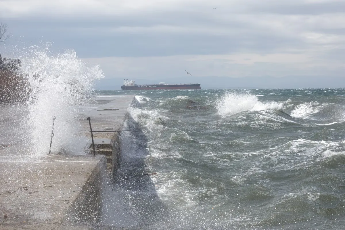
A primary driver of this severity is the wind intensity. In the central and northern Aegean, winds are expected to reach 8 Beaufort, a level that can cause significant disruptions to maritime activities, coastal safety, and local infrastructure. This high-wind environment is coinciding with a period of intense rainfall that has already caused localized flooding in several island and coastal communities, creating a multi-hazard weather scenario.
Impact of recent rainfall in the Sporades and Magnesia
The immediate severity of this weather system was vividly demonstrated by the events of the previous night. In Skiathos, torrential rainfall was so intense that local roads were effectively transformed into rivers, making travel extremely hazardous and causing significant localized disruption. These extreme precipitation events were not isolated to the Sporades; similar flooding phenomena were documented along the coastal stretches of Magnesia and in northeastern Euboea. These incidents highlight the acute risk of rapid runoff and flash flooding in low-lying areas, a danger that persists as the storm system continues to move through the region.
How will the storm affect different regions of the country?
The distribution of the storm is uneven, creating a sharp divide between the eastern and western parts of the country. While some western and northern areas may only experience passing clouds and light, temporary rain, the eastern half of the country remains under the direct influence of the primary weather front. The storm is expected to be particularly aggressive in specific zones, requiring residents to remain alert.
According to the detailed forecasts, the following areas are expected to experience the most intense phenomena:
- Eastern Thessaly and the Sporades: These areas face a high risk of heavy rain combined with strong, potentially disruptive winds.
- Crete and Euboea: Both regions are expected to experience significant precipitation and localized storms.
- Western Cyclades: There is a high potential for severe weather and gusty conditions in these island groups.
- Potential impact zones: Areas including Boeotia, Phthiotis, Kythira, and the Dodecanese may also see intensified weather phenomena as the system progresses.
While the weather is expected to show signs of weakening from late afternoon onwards, particularly in the eastern sectors, the threat remains significant throughout the morning and early afternoon. Residents in these high-risk zones should prepare for sudden changes in conditions until the system moves further away.
What are the specific forecasts for Attica and central Greece?
Attica is expected to deal with cloudy conditions and localized rainfall, which will be primarily concentrated in the northern and eastern parts of the prefecture. While the rest of the region may see less intense activity, the northern sectors remain a key area for weather monitoring due to the potential for localized bursts of rain.
The forecast for Attica suggests a gradual improvement in weather conditions toward the evening. Regarding wind, the breeze will generally blow from northern directions with intensities of 4 to 5 Beaufort. However, residents in the eastern parts of the prefecture should be prepared for stronger gusts of up to 6 or 7 Beaufort. Temperature-wise, Attica will see temperatures ranging between 18 and 21-22 degrees Celsius. It is important to note that in the northern and eastern parts of the prefecture, minimum temperatures could be 3 to 4 degrees lower than the regional average, adding a layer of chill to the rainy conditions.
What temperature variations should be expected across Greece?
Temperatures across the country will vary significantly depending on regional geography and the influence of the storm front. While the storm brings heavy rain to the east, a slight rise in temperatures is noted in the western and northern parts of the mainland, creating a diverse thermal landscape across the peninsula.
The following summary details the projected temperature ranges for Sunday, September 27, 2026, based on the latest meteorological data:
- Western Macedonia: 5 to 20-21°C
- Macedonia and Thrace: 7 to 25°C
- Epirus: 6 to 26°C
- Thessaly: 6 to 24°C
- Other Mainland Regions: 9 to 25-27°C
- Crete: 10 to 22-23°C
- Ionian Islands: 13 to 23-25°C
- North/Northeast Aegean Islands: 15 to 22°C
- Other Aegean Islands: 16 to 25°C
In Thessaloniki, the forecast predicts increased cloud cover with passing periods of higher density. Despite the clouds, winds in the city will remain relatively calm at 2 to 3 Beaufort, with temperatures expected to hover between 16 and 24-25 degrees Celsius.
How do the wind patterns differ between the Aegean and the Ionian Seas?
Wind patterns in Greece are highly localized and depend heavily on the specific sea being crossed. The Aegean Sea remains the primary area of concern due to the high Beaufort scale readings, whereas the Ionian Sea remains relatively more stable during this period.
In the Aegean, winds will generally blow from northerly to northeasterly directions. In the central and northern sections, these winds are expected to reach 6 to 7 Beaufort, with localized peaks of 8 Beaufort. This pattern is typical of seasonal shifts that can bring sudden volatility to the Greek islands. Conversely, in the Ionian Sea, the winds will be notably less intense, blowing from northeasterly to northerly directions with intensities ranging between 4 and 5 Beaufort. This distinction is crucial for maritime transport and coastal safety planning, as the Aegean sectors face much higher risk levels.
Frequently asked questions
Is there an active weather warning for Greece today?
Yes, an orange warning is currently in effect for several parts of Greece. This warning covers intense phenomena including heavy rainfall and strong winds, particularly in the Aegean Sea and eastern coastal regions, necessitating caution for residents and travelers.
Where is the rain most intense?
The most intense rain and localized storms are expected in Eastern Thessaly, the Sporades, Crete, Euboea, and the Western Cyclades. These areas are at higher risk for flash flooding and significant disruptions to local infrastructure.
How strong will the winds be in the Aegean?
Winds in the Aegean are expected to be quite strong, generally blowing from the north or northeast at 6 to 7 Beaufort. In the central and northern Aegean, gusts may reach up to 8 Beaufort, which is considered gale-force.
Will the weather improve in Attica?
Yes, Attica is expected to see a gradual improvement in weather conditions toward the evening. While northern and eastern parts may experience localized rain during the day, the overall trend is toward stabilization by nightfall.
What are the expected temperatures for the mainland?
Mainland temperatures will vary by region. Northern areas like Western Macedonia may see lows around 5°C, while much of the rest of the mainland will range between 9°C and 27°C, depending on the local weather front and cloud cover.
Key takeaways
- An orange warning remains active for heavy rain and high winds in Greece.
- Aegean winds may reach up to 8 Beaufort in central and northern sectors.
- Significant flooding has already been reported in Skiathos and parts of Magnesia.
- Weather conditions are expected to weaken from late Sunday afternoon.
- Temperatures will range from 5°C in Macedonia to 27°C in parts of the mainland.
Conclusion
The severe weather pattern affecting Greece on September 27, 2026, presents significant risks, particularly in the Aegean and eastern coastal regions. With orange warnings in place for heavy rain and gale-force winds, the potential for flooding and maritime disruption is high. While the system is expected to lose intensity by late afternoon, the morning and early afternoon hours require extreme caution. Monitoring local updates from EMY and Meteo is essential for those in high-risk zones like the Sporades, Crete, and Euboea to ensure safety during these intense meteorological events.