What are the expected temperature changes across Greece?
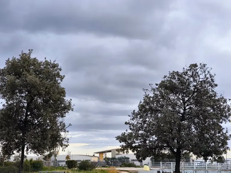
Temperatures are set to undergo a further decline, making the autumn chill increasingly palpable across the Greek mainland and islands. While the overall drop is described as a continuation of the seasonal trend rather than a sudden extreme event, the impact will vary significantly depending on the geographical location.
In the northern regions, the cold will be most pronounced. Western Macedonia is expected to see temperatures ranging from a low of 0°C to a maximum of approximately 9–11°C. The rest of Macedonia and Thrace will experience a slightly milder range, between 2°C and 12–14°C. Moving toward the central and western parts of the mainland, including Epirus and Thessaly, temperatures will fluctuate between 4°C and 16°C, with other mainland areas seeing between 6°C and 14–16°C.
The maritime and southern regions will maintain relatively higher temperatures, though the wind chill will be a factor. The Ionian Islands are projected to see temperatures between 8°C and 17–18°C. In the Aegean, the Northern and Northeastern islands will experience between 8°C and 14–15°C, whereas the rest of the Aegean and Crete will remain warmer, with figures ranging from 10°C to 18–20°C.
Regional Temperature Breakdown
To better understand the thermal distribution, the following table summarizes the projected temperature ranges for Saturday, November 7, 2026:
| Region | Minimum Temp (°C) | Maximum Temp (°C) |
|---|---|---|
| Western Macedonia | 0 | 11 |
| Macedonia & Thrace | 2 | 14 |
| Epirus & Thessaly | 4 | 16 |
| Mainland (Other) | 6 | 16 |
| Ionian Islands | 8 | 18 |
| North/NE Aegean | 8 | 15 |
| South Aegean & Crete | 10 | 20 |
Where will rainfall and snowfall occur?
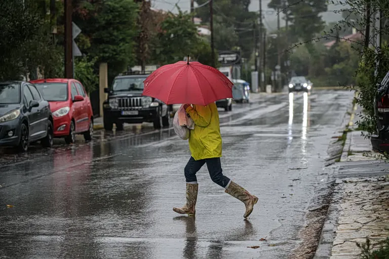
Localized precipitation is expected to be the primary weather feature for several parts of the country, though meteorologists emphasize that a generalized period of severe bad weather is not anticipated. Most of the country will see passing clouds, with specific areas facing more consistent moisture.
According to reports from meteo.gr, light rain is most likely to affect parts of central and southern Greece. Specifically, Thessaly, Central Greece, the Peloponnese, and Euboea are identified as the primary zones for these local showers. However, the intensity of these phenomena is expected to be higher in Magnesia, Northern Euboea, and the Southwestern Peloponnese.
In addition to rain, the transition to winter conditions is visible in the higher altitudes. The first light snowfalls are predicted for mountainous regions, specifically at elevations exceeding 1,500 to 1,600 meters. This suggests that while coastal and lowland areas deal with rain and wind, the high-altitude terrain is already entering a winter phase.
How will wind conditions affect the Aegean and Ionian seas?
Strong northern winds will be a dominant factor in the Aegean Sea, maintaining a sense of cold even in areas where temperatures remain moderate. These winds are expected to reach intensities of 5 to 6 Beaufort, which can significantly impact maritime activities and increase the perceived temperature for coastal residents.
The wind patterns are detailed as follows:
- Aegean Sea: Predominantly northern winds with intensities of 5–6 Beaufort, potentially reaching 7 Beaufort in certain local areas.
- Ionian Sea: Winds will blow from easterly directions at 3–4 Beaufort, gradually increasing to 5 Beaufort.
- Kythira Region: Northeastern winds are expected to strengthen after midday, reaching up to 6 Beaufort.
These conditions mean that exposed coastal and island areas will feel significantly colder than the thermometer suggests due to the wind chill effect. Residents and travelers in the Aegean should exercise caution during maritime transit.
What is the weather outlook for Athens and Thessaloniki?
The major urban centers of Athens and Thessaloniki will experience different atmospheric conditions, though both will be subject to the broader seasonal cooling. While Athens remains relatively stable, Thessaloniki faces challenges with visibility.
In Attica and Athens, the forecast indicates light clouds that may increase intermittently. The winds will be directed from northern and northeastern directions with an intensity of 4–5 Beaufort. Temperatures in the capital are expected to range between 10°C and 14–15°C, providing a mild but breezy autumnal experience.
Thessaloniki will see similar light cloud cover, but the primary concern for the city is the formation of local fog. During the night and early morning hours, fog is expected to develop, which may limit visibility for drivers and commuters. Winds in Thessaloniki will initially blow from the northwest at 3–4 Beaufort before becoming light and variable after midday. Temperatures in the city center are projected to stay between 7°C and 12–13°C.
FAQ: Greece weather forecast November 2026
Will there be heavy rain in Greece this Saturday?
No, a generalized period of severe bad weather is not predicted. Instead, the forecast indicates localized and generally light rainfall, primarily affecting Thessaly, Central Greece, the Peloponnese, and Euboea, with slightly more intensity in Magnesia and Northern Euboea.
Is snow expected in the Greek mountains?
Yes, light snowfalls are anticipated in mountainous regions. These are expected to occur at higher altitudes, specifically at elevations above 1,500 to 1,600 meters, marking the seasonal transition in the highlands.
How strong will the winds be in the Aegean?
The Aegean Sea will experience strong northern winds with intensities between 5 and 6 Beaufort. In certain local areas, these winds could reach up to 7 Beaufort, which may increase the perceived coldness in coastal areas.
What should I expect in Athens regarding the weather?
Athens will experience light, intermittent clouds with winds from the north and northeast at 4–5 Beaufort. Temperatures will remain moderate, ranging from 10°C to 15°C, making it a typical breezy autumn day.
Will fog affect visibility in Thessaloniki?
Yes, Thessaloniki is expected to experience the formation of local fog during the night and the early morning hours. This phenomenon is likely to reduce visibility, so caution is advised for early travelers.
Key takeaways
- Temperatures will drop significantly, with Western Macedonia reaching near 0°C.
- Localized rainfall is expected in Thessaly, Central Greece, Peloponnese, and Euboea.
- Snowfall is predicted for mountainous areas above 1,500–1,600 meters.
- Strong northern winds of up to 7 Beaufort will impact the Aegean Sea.
- Morning fog may limit visibility in Thessaloniki.
Conclusion
The weather pattern for November 7, 2026, signals a definitive shift toward winter conditions across Greece. While the country avoids a widespread weather emergency, the combination of falling temperatures, localized rain in the south and central regions, and significant wind activity in the Aegean requires preparation. From the potential snow in the mountains to the fog in Thessaloniki and the wind chill in the islands, the day will be characterized by diverse and cooling atmospheric conditions. Residents and travelers should remain mindful of the wind speeds and visibility changes as the autumn season progresses.