What are the expected weather conditions across Greece?
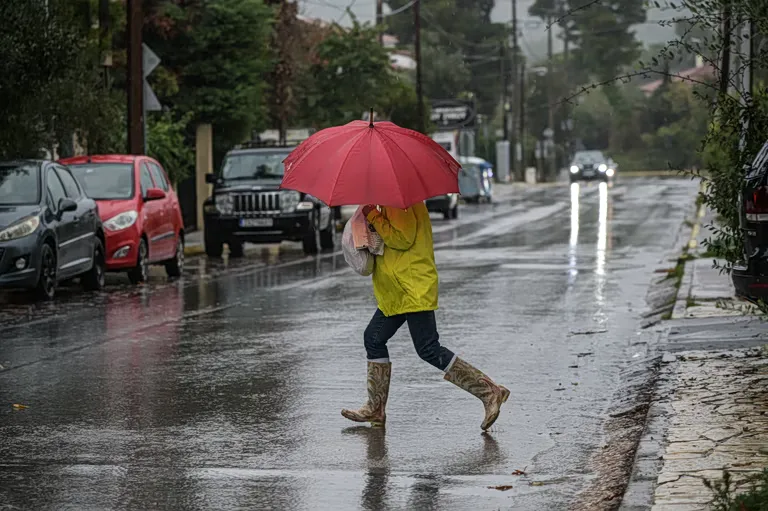
The general weather pattern for Sunday involves cloudy skies with temperature fluctuations that remain below seasonal norms. Most of the country will experience light cloud cover, though specific regions will face more intense atmospheric activity. In Western Greece, particularly within the Ionian Islands, increased cloudiness is expected to bring localized rainfall and sporadic thunderstorms.
While the western parts of the country deal with precipitation, the rest of the mainland—excluding eastern Macedonia and Thrace—along with Crete, will see transiently increased cloud cover. This may result in light local rain or possible showers. In contrast, many other parts of the country are expected to remain generally clear, though the overall temperature trend remains cool.
How will wind speeds affect the Aegean and Ionian regions?
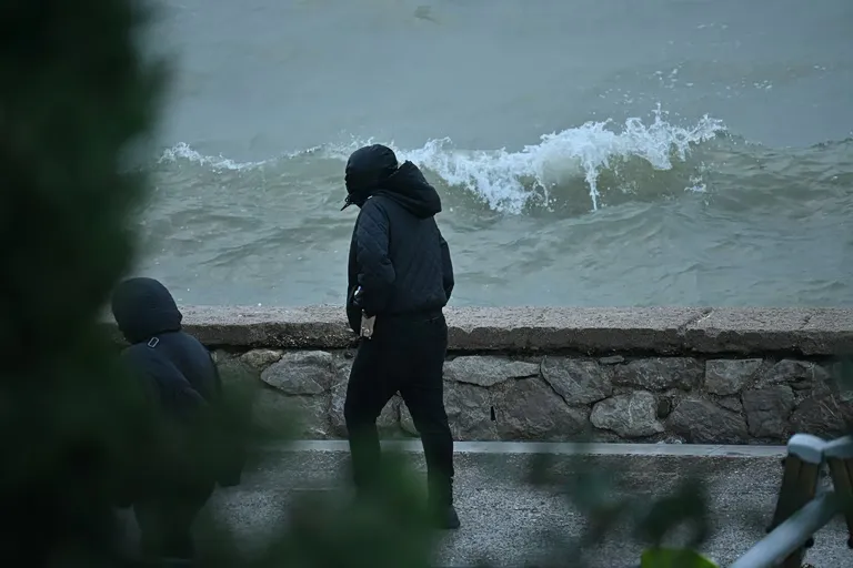
Strong winds are a primary feature of the day's forecast, particularly affecting maritime and coastal areas. The Aegean Sea will experience significant wind activity, with northern and northeasterly winds reaching intensities of 4 to 6 Beaufort, and peaking locally at 7 Beaufort in the southern parts of the Aegean.
The Ionian region will see different wind patterns, with winds blowing from easterly to southeasterly directions at intensities of 4 to 5 Beaufort. A specific note is made for the Kythira area, where easterly winds are expected to reach up to 6 Beaufort. These conditions suggest that maritime activities in the Aegean may be impacted by the gusty north winds.
Wind Intensity Summary Table
| Region | Wind Direction | Intensity (Beaufort) |
|---|---|---|
| Western Greece / Ionian | East to Southeast | 4–5 |
| Kythira Area | East | Up to 6 |
| North Aegean | North/Northeast | 4–6 |
| South Aegean | North | 5–7 |
What temperature variations should be expected?
Temperatures across the Greek territory will vary significantly based on geography, with the coldest air concentrated in the north and the mildest in the west and islands. In Western Macedonia, temperatures are expected to be quite low, ranging from -2°C to between 9°C and 11°C. Thrace and the rest of Macedonia will see a range from 0°C to 11–13°C.
In the central and southern regions, the mercury will behave as follows:
- Epirus: 3°C to 15–16°C
- Thessaly: 3°C to 14–15°C
- Other Mainland areas: 6°C to 14–16°C (locally 17°C)
- Ionian Islands: 10°C to 17–18°C
- North/Northeast Aegean Islands: 7°C to 12–14°C
- South Aegean Islands and Crete: 10°C to 16–18°C (locally 19°C)
These figures indicate a notable thermal gradient between the northern mountainous regions and the southern island chains.
What is the impact on visibility and driving conditions?
Reduced visibility is a significant concern for commuters and travelers during the transitional hours of the day. Meteorological data indicates that visibility will be locally limited in the morning and evening hours across the mainland. This phenomenon is largely attributed to the formation of fog in central and northern mainland regions.
In Thessaloniki, specifically, the combination of light cloud cover and the potential for fog during the night and early morning will likely impact visibility. Drivers in these areas should exercise caution, particularly on rural roads where mist tends to settle more heavily.
Visibility and Fog Alerts
The most critical periods for reduced visibility are the early morning hours and late at night. The central and northern mainland are the most susceptible to fog formation. This atmospheric condition, combined with the reported winds, suggests that transport logistics and maritime navigation should account for these intermittent visibility drops.
How will the weather manifest in Attica and Thessaloniki?
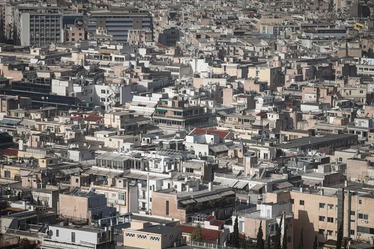
The weather in the major urban centers of Attica and Thessaloniki will differ slightly from the more turbulent western regions. In Attica, the forecast predicts light cloud cover that may become transiently thicker at times. Winds in the Attica region will blow from the north or northeast at intensities of 4 to 5 Beaufort, with temperatures expected to range between 9°C and 14–15°C.
Thessaloniki will experience light cloud cover, similar to Attica, but with specific concerns regarding visibility. In the city and its prefecture, the presence of fog is possible during the night and early morning. Winds in Thessaloniki are expected to be light and variable. Temperatures in the center of Thessaloniki are projected to stay between 7°C and 12–13°C.
Frequently asked questions
Will there be heavy rain in Greece today?
Heavy rain is not broadly expected, but localized rainfall is anticipated in the Ionian Islands and western Greece. Some transient light rain or showers may also occur in parts of central and northern Greece, but these are expected to be sporadic rather than continuous widespread events.
How strong are the winds in the Aegean?
Winds in the Aegean will be quite strong, particularly in the north and south. Most areas will experience north or northeasterly winds at 4 to 6 Beaufort, but local gusts in the Aegean can reach up to 7 Beaufort, which may affect sea conditions.
What are the coldest temperatures expected today?
The coldest temperatures will be found in Western Macedonia, where they can drop as low as -2°C. Other northern regions like Thrace may see temperatures starting from 0°C, marking a significantly cooler start to the day compared to the southern islands.
Is fog expected in major cities?
Yes, fog is expected to form in the central and northern mainland, affecting visibility. Specifically, Thessaloniki is mentioned as a location where fog may develop during the night and early morning hours, leading to limited visibility for residents and travelers.
What is the temperature forecast for Crete?
Crete will experience relatively mild conditions compared to the mainland. Temperatures in Crete are expected to range from 10°C to 16–18°C, with some local areas potentially reaching up to 19°C, making it one of the warmer regions in the country today.
Key takeaways
- Localized rainfall and sporadic thunderstorms are expected in the Ionian and western mainland.
- Aegean winds will be strong, reaching up to 7 Beaufort in certain local areas.
- Temperatures in Western Macedonia may drop as low as -2°C.
- Reduced visibility due to fog is likely in northern and central mainland regions.
- Attica and Thessaloniki will remain relatively stable with light clouds and moderate temperatures.
Conclusion
The weather in Greece on November 8, 2026, presents a diverse set of conditions ranging from cold, foggy mornings in the north to milder, windier conditions in the south. While the western regions must prepare for rain and potential thunderstorms, the Aegean will be dominated by strong northerly winds. Urban centers like Attica and Thessaloniki will experience more stable but cool weather, with the caveat of morning fog. Travelers and maritime operators should remain attentive to the localized wind speeds and visibility changes reported throughout the day.