What are the primary weather patterns for Greece today?
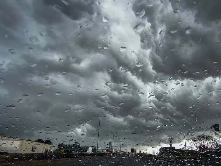
Localized rainfall and increased cloud cover are the defining meteorological features for much of the Greek territory on Wednesday, November 4, 2026. While many areas will see only intermittent clouds, specific regions are bracing for more significant weather events. According to EMY, Thrace, the islands of the North and East Aegean, and the Dodecanese will experience cloudiness accompanied by local rain, with isolated thunderstorms reported during the early morning hours.
In the rest of the country, the weather pattern remains relatively stable but unsettled, featuring transient cloud increases and light, local showers primarily concentrated in the eastern parts of the mainland. The presence of moisture and shifting air masses is creating a varied landscape of weather conditions across the different geographical zones of Greece.
Regional precipitation distribution
The distribution of rainfall is not uniform across the country. The most intense phenomena are expected in the Eastern Aegean during the morning hours. Later in the day, the evening hours are likely to bring more significant rainfall to Euboea, Magnesia, and Northeastern Sterea. These localized events suggest a pattern of passing weather fronts rather than a prolonged, country-wide deluge.
How will the temperature drop affect different regions?
A significant cooling trend is moving through the country, with temperature variations depending heavily on latitude and local topography. In the northern regions, the cooling is most pronounced. According to meteorological data, temperatures in Western Macedonia are expected to fluctuate between a low of 1°C and a high of 11°C. Thrace and the rest of Macedonia will see ranges between 4°C and 17°C, while Thessaly and Epirus will experience highs around 16°C to 17°C.
In contrast, the southern and coastal areas will maintain milder conditions. The Ionian Islands are forecast to see temperatures between 10°C and 20°C. The Aegean islands and Crete will remain the warmest sectors, with temperatures ranging from 19°C to 23°C. The southern Aegean, in particular, will see highs reaching 22°C to 23°C, offering a stark contrast to the chilly northern mainland.
What are the wind conditions in the Aegean and Ionian seas?
Strong winds are a major concern for maritime and coastal activities, particularly in the Aegean Sea. The wind direction is predominantly northern. In the North Aegean, winds are expected to blow from the northeast with intensities of 5 to 6 Beaufort. Throughout the rest of the Aegean, winds will blow from the north to the northwest, maintaining similar intensities. In the northernmost parts of the Aegean, wind speeds could escalate to 7 Beaufort by the evening.
The Ionian Sea will experience slightly different conditions. Winds there are expected to be northerly to northwesterly with intensities reaching up to 5 Beaufort. However, unlike the Aegean, where winds may strengthen, the Ionian Sea is expected to see a gradual weakening of wind speeds following the afternoon hours.
Maritime impact summary
| Region | Wind Direction | Intensity (Beaufort) |
|---|---|---|
| North Aegean | Northeast | 5–6 (up to 7) |
| Rest of Aegean | North/Northwest | 5–6 |
| Ionian Sea | North/Northwest | Up to 5 (decreasing) |
What visibility and fog issues should be expected?
Visibility is expected to be compromised in several areas, posing potential risks for transport and navigation. The most significant reductions in visibility are forecasted for the morning and evening hours. This effect will be most prevalent in the western parts of the country, where mountainous terrain is likely to trigger the formation of fog.
These low-visibility conditions are typical of transitional weather periods where temperature drops meet higher humidity levels. Travelers and residents in western mountainous regions should exercise caution during the early morning commutes and late evening travel, as fog can develop rapidly and reduce sightlines significantly.
What is the specific forecast for Athens and Thessaloniki?
Major urban centers will experience relatively milder weather compared to the northern mountains, though they are not exempt from the day's general trends. In Athens and the Attica region, the forecast includes intermittent cloud cover with a possibility of light, passing showers. Winds in Attica will blow from the north to the northeast at 4 to 5 Beaufort, with potential local gusts reaching 6 Beaufort in eastern areas. The temperature in central Athens is expected to range between 14°C and 21°C.
Thessaloniki will see a cooler profile. The city is expected to experience light cloud cover with northwesterly winds at intensities up to 5 Beaufort. These winds are predicted to weaken progressively after midday. Temperatures in the center of Thessaloniki are forecast to fluctuate between 9°C and 16°C.
FAQ: Weather in Greece November 2026
Will there be heavy rain in Greece today?
Heavy, continuous rain is not expected across the whole country. Instead, the forecast predicts localized and intermittent showers. The most significant rainfall will occur in the Eastern Aegean during the morning and in Euboea, Magnesia, and Northeastern Sterea during the evening hours.
How cold will it get in the northern parts of Greece?
The northern regions will experience the most significant temperature drops. Western Macedonia will be the coldest, with temperatures starting as low as 1°C. Other parts of Macedonia and Thrace will see lows around 4°C, while most other mainland areas will stay above 5°C.
Are the winds in the Aegean dangerous?
Winds in the Aegean will be strong, reaching 5 to 6 Beaufort in most areas, with northern parts potentially hitting 7 Beaufort. While these are standard for the season, maritime users should be aware of the increased wind speeds and northerly directions.
What is the weather like in Athens?
Athens will see partly cloudy skies with a chance of light, passing rain. Temperatures will range from 14°C to 21°C. Winds will be northerly to northeasterly at 4 to 5 Beaufort, potentially increasing to 6 Beaufort in the eastern parts of Attica.
Will fog affect driving in Greece?
Yes, visibility will be limited in certain areas, particularly during the morning and evening. This is most likely to occur in the western regions of the country, where fog is expected to form in mountainous areas, potentially impacting road safety.
Key takeaways
- Temperatures will drop significantly, with Western Macedonia reaching a low of 1°C.
- Strong winds will affect the Aegean, reaching up to 7 Beaufort in the north.
- Localized rain is expected in Thrace, the Aegean islands, and parts of the eastern mainland.
- Reduced visibility and fog are anticipated in western mountainous regions.
Conclusion
The weather pattern for November 4, 2026, indicates a transition toward cooler and more unsettled autumnal conditions across Greece. While the southern islands and the Ionian Sea remain relatively mild, the northern mainland must prepare for significant temperature declines and cold morning lows. The combination of localized rainfall in the east and strong northerly winds in the Aegean necessitates caution for both commuters and maritime travelers. As the day progresses, the cooling trend and shifting wind patterns will continue to define the regional atmospheric conditions throughout the country.