When will the severe weather conditions in Greece subside?
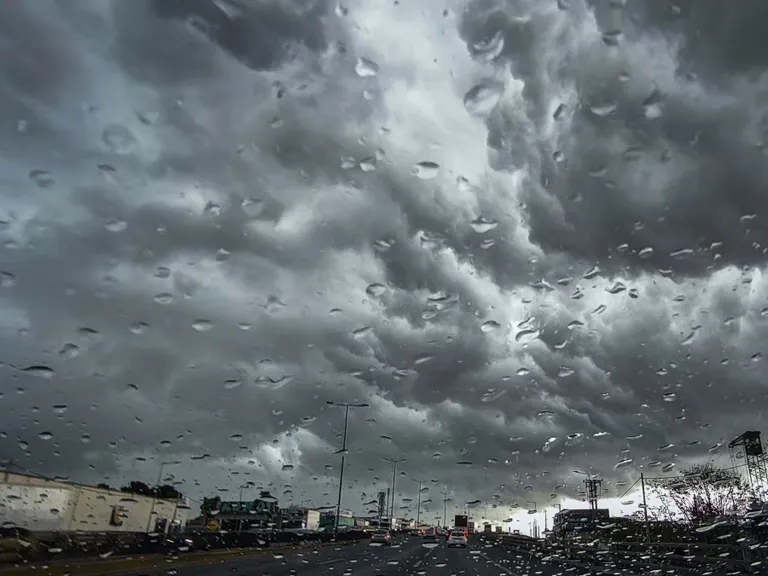
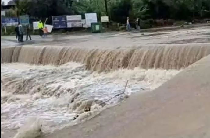
The current period of instability is expected to last until Tuesday, November 3, 2026, according to the latest reports from the Hellenic National Meteorological Service (EMY). The weather pattern is characterized by intense precipitation and atmospheric instability that will primarily impact the western, northern, and eastern island regions of the country.
The progression of the storm follows a specific timeline for different territories. For Monday, November 2, the most intense activity is anticipated in the Ionian Islands starting from midday, and in Epirus, western Central Greece, and western/southern Peloponnese from the afternoon. The Dodecanese islands will also experience intermittent storms lasting late into the night. By Tuesday, the focus shifts toward central and eastern Macedonia, Thrace, and the northern and eastern Aegean islands, where phenomena are expected from the early morning through late afternoon.
Timeline of storm impacts by region
To better understand the window of risk, the weather pattern can be divided into two distinct phases. On Monday, the risk is concentrated in the western and southern coastal areas, whereas Tuesday sees a significant shift toward the northern and eastern sectors of the Greek mainland and its associated island groups. Residents in the Ionian and Dodecanese regions should remain vigilant throughout both days as the instability moves through these maritime zones.
What are the specific weather warnings issued by EMY?
The Hellenic National Meteorological Service (EMY) has issued an orange warning due to the anticipated severity of the rainfall and thunderstorms. This high-level alert covers several key areas where the weather is expected to be particularly volatile, including the potential for localized hail fall.
According to EMY's visual forecast, while cloud cover and sporadic thunderstorms will affect much of the country, the intensity will be significantly higher in specific locations. The primary zones of concern include:
- Ionian Islands: Intense activity starting from midday on Monday.
- Western and Southern Greece: Epirus, western Central Greece, and the western and southern Peloponnese, especially in coastal and maritime areas, from Monday afternoon.
- Dodecanese: Intermittent storms occurring through late Monday night.
The presence of hail is a notable risk factor mentioned in the official bulletin, which could lead to localized disruptions in transport and outdoor activities.
How will wind and temperature fluctuate during the storm?
Wind speeds and temperature variations are critical components of this weather event, with the Ionian Sea facing the most significant wind conditions. Winds are expected to blow from southern directions, reaching 4 to 6 Beaufort in the eastern regions, while local gusts in the Ionian could hit 7 Beaufort.
Temperature levels are expected to remain relatively stable, with most regions seeing values between 18 and 22 degrees Celsius. However, more detailed regional breakdowns reveal significant differences in how the cold air masses will affect various parts of the country.
Regional temperature breakdown
The thermal experience varies greatly depending on the geographic location. While the coastal and southern areas remain milder, the northern mountainous and mainland regions will see much lower figures. According to Meteo's detailed data, the temperature ranges are as follows:
| Region | Temperature Range (°C) |
|---|---|
| Western Macedonia | 3 to 13 |
| Macedonia and Thrace | 5 to 19 |
| Thessaly | 6 to 17 |
| Epirus | 5 to 18 |
| Central Greece and Peloponnese | 7 to 19 |
| Ionian Islands | 12 to 17 |
| North & East Aegean Islands | 11 to 16 |
| Cyclades | 13 to 17 |
| Dodecanese and Crete | 13 to 21 |
What is the impact of dust and localized rain in major cities?
In addition to the heavy rain, increased dust concentrations in the atmosphere are expected to affect the Eastern Aegean, the Dodecanese, and Crete. This can impact visibility and air quality in these specific maritime zones.
For major urban centers, the weather will be less severe but still requires attention. In Athens (Attica), cloud cover is expected to dominate, with rain showers arriving toward the end of the 24-hour period. Winds in the capital will blow from variable directions at up to 3 Beaufort initially, turning southern at 2 to 4 Beaufort. Temperatures in central Athens are forecasted to range between 15 and 19 degrees Celsius. Meanwhile, Thessaloniki is expected to experience cloud cover with occasional local rain, with temperatures between 13 and 19 degrees Celsius and variable winds up to 3 Beaufort.
Frequently asked questions
Will there be hail in Greece?
Yes, there is a possibility of localized hail fall. The official warnings from EMY indicate that hail is a potential accompaniment to the heavy rain and thunderstorms, particularly in the western and northern regions during this period of instability.
How strong will the winds be?
Winds will primarily blow from southern directions. While most of the eastern regions will experience winds of 4 to 6 Beaufort, the Ionian Sea is expected to face stronger local winds reaching up to 7 Beaufort.
What are the temperature expectations for the islands?
Temperatures vary by island group. The Ionian Islands will see between 12 and 17 degrees Celsius, the North and East Aegean islands between 11 and 16 degrees, the Cyclades between 13 and 17, and the Dodecanese and Crete between 13 and 21 degrees Celsius.
Is Athens affected by the heavy storms?
Athens will experience cloud cover and rain showers toward the end of the day. While not as intense as the western regions, the city will see temperatures between 15 and 19 degrees Celsius and light winds.
Where is the dust concentration highest?
Increased atmospheric dust concentrations are specifically predicted for the Eastern Aegean, the Dodecanese, and Crete, which may affect visibility in those areas.
Key takeaways
- Heavy rain and thunderstorms are expected across Greece until Tuesday, November 3, 2026.
- An orange weather warning has been issued for several western and northern regions.
- Wind speeds in the Ionian Sea may reach up to 7 Beaufort.
- Localized hail is a potential risk during the storm period.
- Dust concentrations will be higher in the Eastern Aegean, Dodecanese, and Crete.
Conclusion
The weather pattern currently affecting Greece is a significant period of instability characterized by heavy precipitation, potential hail, and strong winds in maritime areas. With an orange warning in place, residents and travelers in the Ionian, Epirus, and northern Aegean regions should prepare for disruptive conditions through Tuesday. While major cities like Athens and Thessaloniki will see milder impacts, the regional temperature variations and dust concentrations in the Aegean highlight the diverse nature of this weather system. Monitoring official updates from EMY and Meteo remains essential as the storm progresses.