What are the primary weather risks in Greece today?
The most critical weather threats involve localized heavy rainfall and intense thunderstorms in the southern parts of the country, alongside gale-force winds in the Aegean Sea. The Hellenic National Meteorological Service (EMY) has maintained an emergency weather bulletin due to these high-risk conditions. The most severe impact is expected in Crete, particularly within the Chania and Rethymno prefectures, where storms are predicted to be intense and potentially long-lasting. These phenomena are categorized under a 'Red Code' status, signaling the need for heightened caution due to the potential for dangerous weather patterns.
Regional storm intensity and duration
While much of the mainland may experience clearer skies, the southern maritime regions are under significant pressure. Forecasts indicate that the intense weather patterns in Crete are not isolated events but could continue through the weekend, specifically until the morning of October 4, 2026. This extended duration necessitates heightened vigilance for residents and travelers in the southern islands and coastal areas. The persistence of these storms suggests a prolonged period of instability that could impact local infrastructure and travel safety over the coming days.
How will the winds affect the Aegean and Ionian seas?
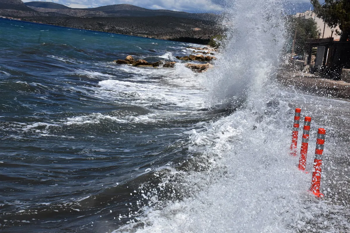
Gale-force winds are expected to dominate the Aegean Sea, with northeasterly winds reaching intensities of 8 to 9 Beaufort. These high wind speeds pose a significant risk to maritime activities and coastal stability. In contrast, the Ionian Sea will experience much calmer conditions, with winds blowing from easterly directions at weak to moderate speeds of 3 to 4 Beaufort, occasionally increasing to 5 Beaufort in the Patraic Gulf. This stark contrast between the two seas means that maritime operations in the Aegean must be handled with extreme care compared to the relatively stable Ionian region.
Aegean wind speed breakdown
The discrepancy between the two seas is stark. While the Ionian remains relatively stable, the Aegean is facing extreme conditions. In the Aegean, winds will generally blow from northern directions at 6 to 7 Beaufort, with gusts reaching speeds of 80 to 90 km/h. In certain areas, these gusts could be even more disruptive, contributing to the 'Red Code' status for the region. The force of these winds, particularly the 8 to 9 Beaufort northeasterly gusts, highlights the severity of the current weather alert for the Aegean islands and coastal stretches.
What is the specific forecast for Crete and the Dodecanese?
Crete and the Dodecanese are the primary zones for thunderstorm activity and heavy precipitation. According to Meteo, the northern and mountainous parts of Crete will experience particularly intense and prolonged rainfall. These conditions are expected to be more severe in the northern and mountainous regions of the island. In the Dodecanese, thunderstorms are expected to be a significant feature of the day's weather pattern, alongside cloudy skies. The combination of heavy rain and high winds in these areas creates a high-risk environment for the duration of the alert.
Temperature and conditions in the southern islands
Temperatures in the southern islands will remain moderate despite the storms. In the Cyclades and Crete, temperatures are expected to range between 18°C and 22°C. The Dodecanese will see slightly warmer conditions, with temperatures fluctuating between 17°C and 26°C. These figures reflect a typical autumnal pattern where moisture and wind are more prominent than extreme heat. While the temperature remains relatively mild, the presence of intense storms and high winds defines the current weather risk profile for these southern territories.
How will weather conditions vary across mainland Greece?
Mainland Greece will see a divide between the clear skies in the north and the localized instability in the southeast. Most of the country is expected to remain sunny, though a slight drop in temperature is anticipated. In southeastern mainland Greece, the Sporades, and parts of the Peloponnese, clouds will form, leading to local rainfall. Specific areas like Eastern Thessaly, Euboea, and Eastern Central Greece are also on the list for localized rain. This means that while much of the mainland enjoys sunshine, specific pockets will face sudden and localized precipitation.
Temperature variations by region
Temperature fluctuations across the mainland are notable. Northern Greece will see temperatures between 11°C and 25°C, with West Macedonia experiencing a sharper drop, ranging from a minimum of 5°C to a maximum of 20°C. Central and Southern Greece will maintain a range of 14°C to 23°C, while Western Greece will be warmer, with temperatures between 13°C and 27°C. In Attica, the weather will be mostly sunny with some passing clouds, with temperatures between 16°C and 21°C, though northern Attica may be 3 to 4 degrees cooler. These variations demonstrate the diverse meteorological conditions currently affecting different parts of the Greek mainland.
What should residents in Attica and Thessaloniki expect?
Residents in Attica should prepare for passing clouds and a possibility of local rain, particularly in the northern parts of the region. Winds in Attica will be moderate to strong from northern directions at 5 to 6 Beaufort, with eastern gusts reaching 7 Beaufort at speeds of 80 km/h. Meanwhile, Thessaloniki is expected to enjoy sunshine with temperatures ranging from 14°C to 24°C, accompanied by weak northwesterly winds in the Thermaic Gulf. While Attica faces potential wind gusts and light rain, Thessaloniki remains under much calmer and clearer conditions.
FAQ: Greece weather Red Code
What is the duration of the severe weather in Crete?
The intense weather phenomena in Crete, including heavy rain and thunderstorms, are expected to persist until the morning of Sunday, October 4, 2026. Residents should prepare for sustained storm activity in the Chania and Rethymno areas during this period.
How strong are the winds in the Aegean Sea?
Winds in the Aegean Sea are expected to be very strong to gale-force, specifically northeasterly winds at 8 to 9 Beaufort. These winds can produce gusts between 80 and 90 km/h, creating hazardous conditions for maritime travel.
Will there be rain in Athens and Attica?
Attica will see mostly sunny conditions with some passing clouds. However, there is a possibility of local rainfall, especially in the northern parts of the Attica region. Winds will be moderate to strong, with gusts up to 80 km/h in the east.
What are the temperature ranges for Northern Greece?
Northern Greece will experience temperatures between 11°C and 25°C. In the West Macedonia region, the temperature will be lower, ranging from a minimum of 5°C to a maximum of 20°C.
Is the Ionian Sea affected by the Red Code?
The Ionian Sea is not subject to the same severe warnings as the Aegean. It will experience weak to moderate winds of 3 to 4 Beaufort, with slight increases to 5 Beaufort in the Patraic Gulf, making it much calmer than the southern Aegean.
Key takeaways
- Red Code warnings are active for Crete due to heavy rain and thunderstorms.
- Aegean winds will reach gale force, specifically 8 to 9 Beaufort.
- Extreme weather in Crete is forecast to last until October 4, 2026.
- Wind gusts in the Aegean and Attica may reach up to 90 km/h.
- Northern Greece, especially West Macedonia, will see cooler temperatures.
Conclusion
The current meteorological situation in Greece necessitates caution, particularly for those in the southern islands and the Aegean Sea. The combination of intense thunderstorms in Crete and gale-force winds in the Aegean creates a complex and potentially dangerous environment. While much of the mainland will enjoy relatively stable and sunny weather, the localized risks in the south and east are significant. Monitoring official updates from EMY and Meteo remains essential as the storm systems move through the region and potentially persist through the upcoming weekend.