Where are the red weather alerts issued in Greece?
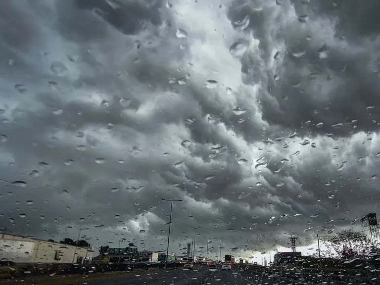
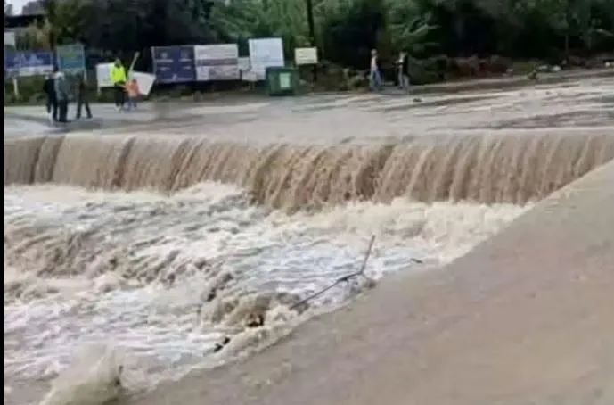
Red alerts have been issued for several specific regions in Greece due to the high risk of intense rainfall and severe thunderstorms. According to the updated emergency bulletin from the Hellenic National Meteorological Service (EMY), the most critical warnings apply to Corfu, the Paxoi islands, and the Epirus region, particularly in coastal areas, lasting through the morning hours. Additionally, red alerts are in effect for parts of Eastern Macedonia, including Thasos and Samothrace, as well as Thrace and the islands of the Northeastern Aegean, such as Lemnos, Agios Efstratios, and Lesvos, from the early morning until the afternoon.
Beyond these red alerts, several other regions are under orange alerts, signifying high-risk weather conditions that require caution. These include:
- The Ionian islands until midday.
- Epirus, Western Central Greece, Western Peloponnese, and Southern Peloponnese until the afternoon.
- The remaining islands of the Eastern Aegean (from Chios southward) and the Dodecanese islands from the morning until the afternoon.
What is the meteorological forecast for the coming hours?
The Meteo forecast indicates that rain and thunderstorms will impact almost the entire country, with the most intense phenomena concentrated in the western and northeastern parts of Greece and the Aegean Sea. While precipitation is widespread, the intensity and volume of rainfall are expected to be highest in Western Greece, Central and Eastern Macedonia, Thrace, the Eastern Aegean islands, the Dodecanese, the Cyclades, and certain eastern mainland areas. There is also a significant possibility of hail, primarily affecting maritime and coastal zones, as well as some eastern and southern mainland locations.
Wind speeds and sea conditions
Wind conditions are expected to be quite severe during this weather event. In the Ionian Sea, winds will blow from southern to southwestern directions with intensities of 6 to 7 Beaufort, occasionally reaching local peaks of 8 Beaufort. However, these winds are expected to weaken after midday, shifting toward a northwestern direction with speeds decreasing to approximately 5 Beaufort. In the Central and Northern Aegean, winds will blow from the southeast at 5 to 6 Beaufort, occasionally reaching 7 Beaufort, while the rest of the Aegean will experience southwestern winds of similar intensity.
How will temperatures and air quality be affected?
Temperatures are set to undergo a slight further decrease across the country as the storm progresses. Regional temperature ranges vary significantly depending on the geography. In Western Macedonia, temperatures will fluctuate between 2°C and 12°C. The rest of Macedonia and Thrace will see ranges from 4°C to 18°C, while Thessaly will experience between 5°C and 16°C. In Epirus, temperatures will range from 5°C to 17°C, and in Central Greece and the Peloponnese, they will stay between 6°C and 18-20°C. The Ionian islands will see temperatures from 10°C to 16°C, while the Northern and Eastern Aegean islands will range from 10°C to 16°C. The remaining Aegean islands and Crete will be warmer, with temperatures between 12°C and 21°C.
In addition to the temperature drop and rain, air quality may be impacted by dust. Increased concentrations of dust are expected to persist across much of the Aegean Sea and on the island of Crete throughout the period.
What should residents in Attica and Thessaloniki expect?
Residents in Attica and Thessaloniki will also experience weather disruptions, though the timing and intensity may differ from the western and northern regions. In Attica, rain and local thunderstorms are expected primarily during the beginning of the day and through the midday hours. These phenomena may be transiently intense and accompanied by occasional hail. Conditions in Attica are forecasted to improve during the afternoon hours. Winds in the capital will initially blow from the southwest at 5 to 6 Beaufort, potentially reaching 7 Beaufort in maritime areas. The center of Athens is expected to see temperatures between 14°C and 19-20°C.
In Thessaloniki, the forecast predicts periodic rainfall with an expected improvement in the afternoon. Winds in the Thessaloniki prefecture will blow from northerly to northwesterly directions with speeds up to 5 Beaufort. The center of Thessaloniki will experience temperatures ranging from 11°C to 16°C.
FAQ: Weather warning Greece
Which areas are under a red alert?
Red alerts are currently active for Corfu, Paxoi, and the coastal areas of Epirus. Furthermore, red warnings apply to Eastern Macedonia (including Thasos and Samothrace), Thrace, and the Northeastern Aegean islands, specifically Lemnos, Agios Efstratios, and Lesvos, lasting until the afternoon.
Will there be hail during the storm?
Yes, hail is possible. According to the Meteo forecast, hail is likely to occur mainly in maritime and coastal areas, as well as in certain parts of the eastern and southern mainland regions of Greece during this weather event.
How strong will the winds be?
Wind speeds will be significant, particularly in the Ionian Sea where they could reach 8 Beaufort locally. In the Central and Northern Aegean, winds will reach 5 to 7 Beaufort, while the rest of the Aegean will see southwestern winds of similar intensity.
What is the temperature outlook for the country?
Temperatures are decreasing. Western Macedonia will see lows of 2°C, while the Aegean islands and Crete will remain warmer, with highs reaching up to 21°C. Most mainland areas will fluctuate between 4°C and 20°C depending on the specific region.
When is the weather expected to improve?
Improvement is expected at different times depending on the location. In Attica, weather conditions are predicted to improve in the afternoon, and in Thessaloniki, periodic rain is expected to subside by the afternoon as well.
Key takeaways
- Red alerts are active for Corfu, Epirus, Thrace, and parts of Eastern Macedonia.
- High winds of up to 8 Beaufort are expected in the Ionian Sea.
- Widespread rain, thunderstorms, and potential hail are forecasted across Greece.
- Temperatures are dropping, with lows of 2°C in Western Macedonia.
- Dust concentrations will remain high in the Aegean and Crete.
Conclusion
The ongoing severe weather event in Greece presents significant risks to several regions, particularly those under red and orange alerts. With heavy rainfall, high winds reaching 8 Beaufort, and the potential for hail, residents in the Ionian, Epirus, Macedonia, and Thrace regions should remain vigilant. While conditions in Attica and Thessaloniki are expected to improve by the afternoon, the overall meteorological pattern remains unstable. Monitoring updates from the Hellenic National Meteorological Service and Meteo is essential for safety as the storm continues to impact the country's weather patterns through Tuesday.